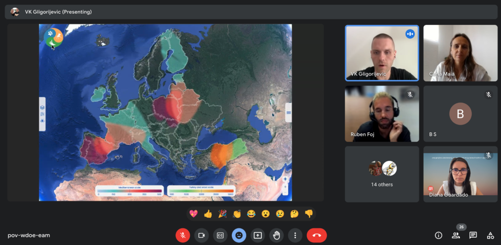
On September 22nd, a dynamic gathering of approximately 30 distinguished professionals and experts from diverse domains, including healthcare, policymaking, citizens, and veterinary governance, convened to deliver valuable insights on the core achievements of CLIMOS.
The focal point of this engaging workshop was the innovative Early Warning System platform. Embracing a co-creative approach, participants collaboratively explored how vital information should be conveyed and presented, enhancing the refinement of the project’s critical tools. The session was led by Vladan Gligorijevic, CEO of CubexLab and CLIMOS task leader on the definition of functional and non-functional requirements, use cases and mock-ups for the Early Warning System Platform.
This co-creation workshop, which we thank the contributions shared by attendees, was a collaborative and interactive gathering where various stakeholders, with diverse expertise and backgrounds, came together to jointly contribute, ideate, and innovate towards the development of the Early Warning System Platform. The term “co-creation” emphasizes the active involvement of multiple parties in creating or shaping a product, service, process, or solution. The aim was to harness the collective intelligence, creativity, and perspectives of all participants to develop solutions that are more inclusive, effective, and tailored to meet the needs of the end-users or target audience.
Why an Early Warning System?
CLIMOS project aims to establish a platform to provide all the project-generated and collected data, research results and information that are critical for decision-making across sectors, applying advanced mathematical modelling techniques. The platform will use High-Performance Computing infrastructure, and trusted data sources like the Copernicus Climate Change Service to provide prediction, classification, recommendation systems and pattern recognition. In that respect two types of health and climate Sand Fly-Born Diseases (SFBDs) services will be provided:
Short-term daily predictions of both sand fly activity and probability of SFBDs incidence connected to the high-resolution weather forecasts and seasonal predictions connected to the climate anomalies for the next three months up to one year, one month in advance.
Long-term projections of SFBDs spread, connected to regional climate change projections, to provide reliable data-based information for those working in adaptation and mitigation to climate change measures and decision-making. We will apply bias adjustment and downscaling techniques, to provide tailored simulations on how the climate is going to change in the upcoming decades and project the spread of sand flies and SFBDs with those. The application will be developed to be readily available for outside (on other platforms) use.
These services will be prepared to be used as parts of other information-providing systems, such as the local weather services, or European Health and Climate Observatory, and as stand-alone project products, so that those can be used by interested members of the general public (tourists travelling to the Mediterranean and the endemic areas, persons spending time outdoors for leisure and work, especially with children and pets, people living in endemic areas, support for vulnerable communities, migrants and refugees), public stakeholders, researchers and professionals working in health, tourism, public and occupational health, agriculture, field research, social services in support of vulnerable groups, NGOs working with migrants and refugees, veterinarians, risk managers and insurance companies, and many other applications.
These tailored applications will use Earth observation through satellites and in-situ sensors to facilitate their development, more concretely will be used as standards for data provision from the OGC partner. Where needed, CLIMOS will combine these data with our expertise in machine and deep learning to produce detailed, high-resolution land use maps for climate and SFBDs and for different specific public sectors.

